Solutions Driving Transition
Providing consultancy, data acquisition, processing and interpretation services for air, land or sea geophysical exploration activities.
Metatek, Your Geophysical Exploration Partner
Providing a unique insight into your geological challenges with market leading technologies combined with an internationally respected team of experts. Imaging the sub-surface for mineral targets, oil and gas, renewables or hydro, Metatek has a tailored land or air geophysical solution to fast-track your exploration timeline.
Geophysical Exploration Methods
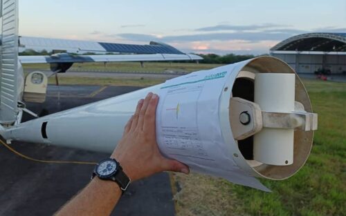
Our suite of instruments for airborne geophysical surveying includes gravity gradiometry (iFTG/eFTG/dFTG), conventional gravity, magnetics, LiDAR and ground geophysics including magnetotellurics, gravity, magnetics and very low frequency (VLF). These instruments can be configured to complement each other to ensure the key objectives of your survey are met and a complete 3D earth model is delivered.
Seismic survey and mining projects can be configured using our quick and efficient survey tools ensuring exploration budgets are optimised and HSE exposure minimised. Combining Full Tensor Gradiometry (FTG) with seismic and other data provides a superior working model.
Know which Geophysical Exploration Method You Require?
Contact one of our team for feasibility studies, survey design, instrument availability, technical specifications and/or case study materials.
More About Metatek and Geophysical Exploration
At Metatek, we provide technology, help and support for all areas of geophysical exploration. This includes, consultancy, data acquisition, processing and interpretation services for air, land or sea geophysical exploration activities.
Our technical solutions and instruments are often exclusive to Metatek with an unbiased approach to resolving sub-surface geology. Technologies are matched to the survey objectives and to provide the best fit solution to your exploration challenge.


Enhanced Full Tensor Gradiometry
(Air)
eFTG

Integrated Full Tensor Gradiometry
(Air)
iFTG

Digital Full Tensor Gradiometry
(Air)
dFTG

Conventional Gravity
(Air, Land, Sea)

Magnetics
(Air, Land)
Complements and discriminates gradiometry targets

LiDAR
(Air)

Magnetotellurics
(Land)

Ground Penetrating Radar
(Land)
GPR

Geochemistry Coring
(Land)


Empowering Geophysical Exploration World-Wide
Our airborne geophysical solutions allow access to inhospitable areas. This enables acquisition of critical data when the terrain is too challenging or dangerous for ground acquisition.
Whether rotary or fixed wing, the acquisition of geophysical data is extremely time efficient, de-risking areas quickly and grading targets for further investigation. Maximum resolving power is reserved for key areas of interest with both budget and time being optimised to ensure objectives and commitments are fulfilled.
Metateks Suite of Geophysical Instruments
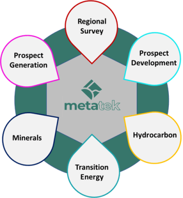
At any stage in the exploration workflow the Metatek suite of instruments are geared to fast-track the process.
Regional screening, de-risking of acreage, fulfilling licence obligations, target identification, planning seismic or drill sites, reprocessing work and or calibrating and constraining legacy data. Our solutions are geared to deliver maximum data in the most efficient way possible combining existing datasets with tailored solutions from our suite of instruments. Full 3D models of the available datasets are installed on your work-stations with a comprehensive face-to-face handover.
An extension of your exploration department delivering new perspectives and industry leading geophysical technologies.

Our team is your team
From geoscience collaboration to operations, knowledge transfer and community liaison our teams of specialists work as an extension of your company. If you’re looking for a geophysical exploration partner, then contact our team today