
By visiting our site, you agree to our privacy policy regarding cookies, anonymous tracking statistics
Geophysics in mineral exploration from Metatek. Our core technology, FTG, in combination with collaborative technologies, images the host geology, the mineralisation content and the size of the mineral targets.
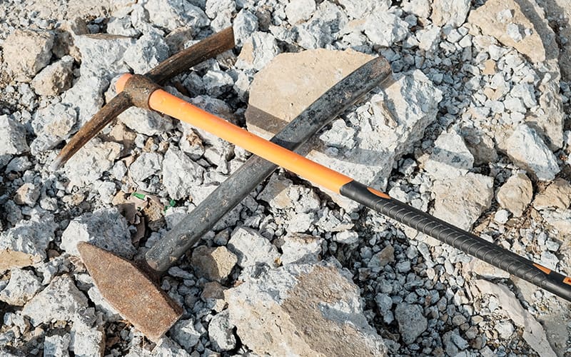
Mining or mineral exploration can be challenging. This is down to the expansive areas to survey and the typically rugged terrain. There are also complicated geological environments which are known to conceal the detection of minerals that we aim to extract. The detected minerals may be deep, small, scattered, or exhibit a low-grade composition of the sought-after mineral. There can also be issues in detecting the mineral when the physical difference between the host material and the mineral may be minimal or even absent.
Using airborne geophysical surveys for mining or mineral exploration, vast tracts of land can be efficiently screened for deposits with increasing resolution of graded targets.
Known geological structures that may contain the target mineral can be identified before geophysical mining takes place, which is confirmed with collaborative investigations.
For more information or yo enquire about our geophysics in mineral exploration, contact our team today.
When we embark on a geophysical mining or a mineral exploration project, legacy data, including ground geophysics and borehole data, is reprocessed, interpreted and incorporated into the final earth model.
Be it a new venture or a brownfield development, Metatek’s geophysical services enable the timely provision of high-quality data. This data is used to support geophysical mining and mineral exploration programmes, baseline and definitive feasibility studies, environmental monitoring and remediation works.
Known mineral deposits identified with FTG include but are not limited to:
Metatek has turnkey services, which include planning, operations, security and logistics. We also cover everything from data acquisition to processing, as well as modelling, interpretation and integration of complementary data.
Metatek offers a wide range of survey methodologies for geophysical mining and mineral exploration. We can tailor solutions to meet exploration objectives even within the most complex geological environments.
Metatek geophysical services provide high-quality data to support mineral exploration programmes, baseline and definitive feasibility studies, environmental monitoring, and corridor mapping.
Metatek also provides planning, operations, security and logistics for exploration programmes.
Our team offers a wide range of survey methodologies which we tailor to meet exploration objectives in complex geological environments.
At Metatek, we have been providing geophysical exploration for many years. Some of the ways that our techniques aid mineral exploration are;
If you want to know more about our previous projects – take a look here
By narrowing down the areas of interest to just the most promising targets, Metatek accelerates the exploration timeline for mining companies. Metatek provides the following data techniques:

Global coverage ensures a Metatek aircraft is rarely more than a short ferry to areas of interest, ensuring cost-effective mobilisation for geophysical mineral exploration across the world.
Land-based services:
Whatever your mineral exploration challenges, we can help find a solution. Contact us today for more information.