
By visiting our site, you agree to our privacy policy regarding cookies, anonymous tracking statistics
Metatek’s Magnetotellurics (MT) datasets offer section imaging of the Earth’s subsurface resistivity/conductivity. This imaging can be used as stand-alone data or, more usefully, to complement the spatial datasets acquired on an airborne data collection campaign.
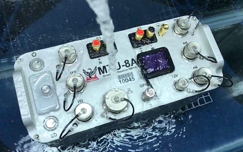
Magnetotellurics is a geophysical exploration method using the Earth’s magnetic and electrical fields to measure the electrical resistivity of the sub-surface.
When using the magnetotellurics method to measure a given area, the rock composition can be determined based on the electrical resistivity.
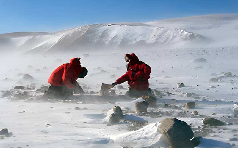
Magnetotellurics surveys provide valuable information about the structures beneath the surface of the Earth without the need for invasive drilling. This makes it an important tool in the field of geophysics for understanding the Earth’s structure and processes.
MT data can deliver both structural information and fluid flow pathways. It is a useful tool for the investigation of hydrocarbon, geothermal, mining, and groundwater.
Recent projects in Colombia demonstrate MT accurately imaging the target body. The unique approach deployed by Metatek started by flying a Full Tensor Gradiometry survey. This enabled the correct placement of the MT and subsequent detection of the target body. Challenging terrain and a suitable geological setting combined with a restricted budget made MT an obvious choice.
Magnetotellurics is often used as a starting point for collecting data as it can be used to verify structures and de-risk acreage prior to embarking on expensive 2D/3D seismic programmes. This can be done at a fraction of the cost of seismic acquisition.
There are several key advantages of MT, which are
The electrical data acquired using magnetotellurics is supplementary to seismic data and becomes particularly valuable when integrated with seismic data and other geophysical observations.
Non-unique technologies, such as FTG and magnetics, can now be constrained accurately using the direct measurement MT dataset.
Gravity, FTG or eFTG integrated with magnetotellurics will provide highly accurate and usable earth models to refine further exploration activities.
At Metatek, we have extensive knowledge and experience when it comes to magnetotellurics. If you have a project and are looking for a partner, then contact our team today.